Crop Insurance
We provide crop insurance companies with insights that help them administer, monitor, and access claims at scale and high precision.

We provide crop insurance companies with insights that help them administer, monitor, and access claims at scale and high precision.

Development organizations use our platform to plan projects and improve climate resilience for smallholder farmers.
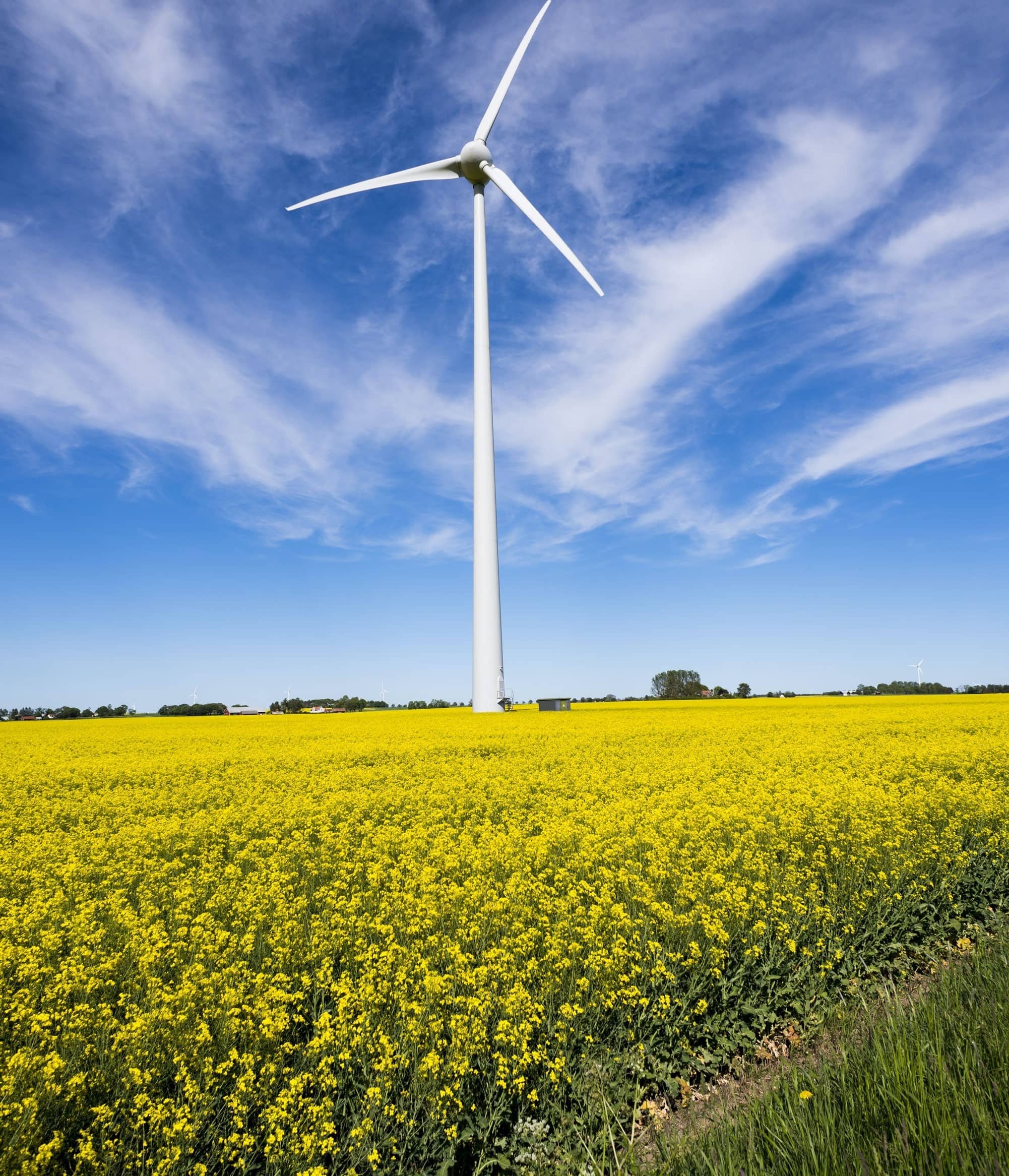
Our platform provides APIs to track progress of performance indicators such as land-use change for sustainable finance.
Our sources include public satellite data from ESA, NASA, JAXA, Private Weather Entities, Indian Remote Sensing Centres and Clients
Crop Sowing Progress, Acreages, Weather, Damage Assessment, Prevented Sowing & Yield Loss Information and Farm Level Insights on Cropping Intensity, Soil Moisture, Cropped Area.
These insights are available from our web based platform(Sentry) and RESTful API’s. Our platform generates periodic reports which can be customised according to client’s requirements.
There is a basic-subscription fee for a standard set of insights and number of users. Any additional insights will be an add-on to the basic fee. In principle all subscriptions are annual.
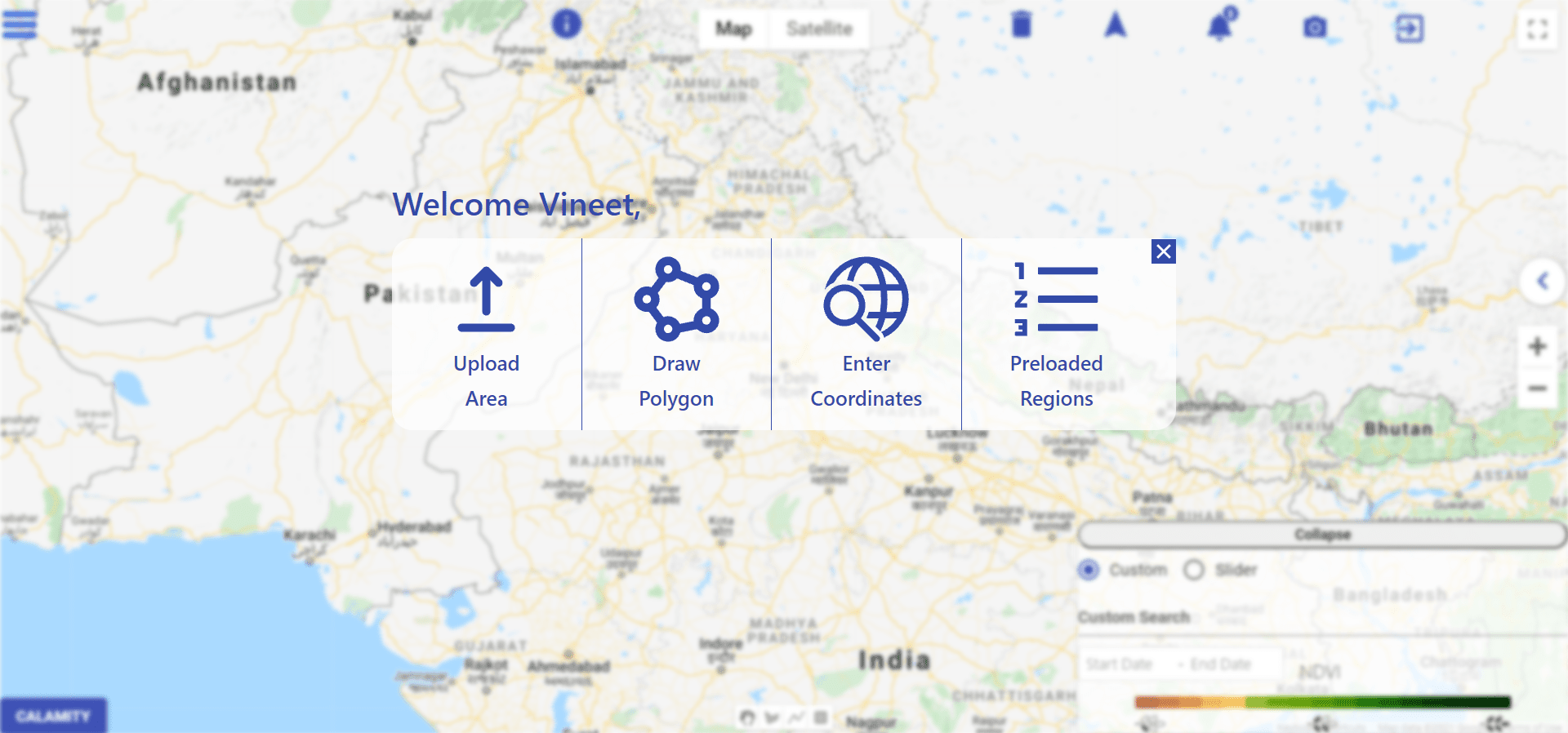
Choose from various options to gather interesting insights.
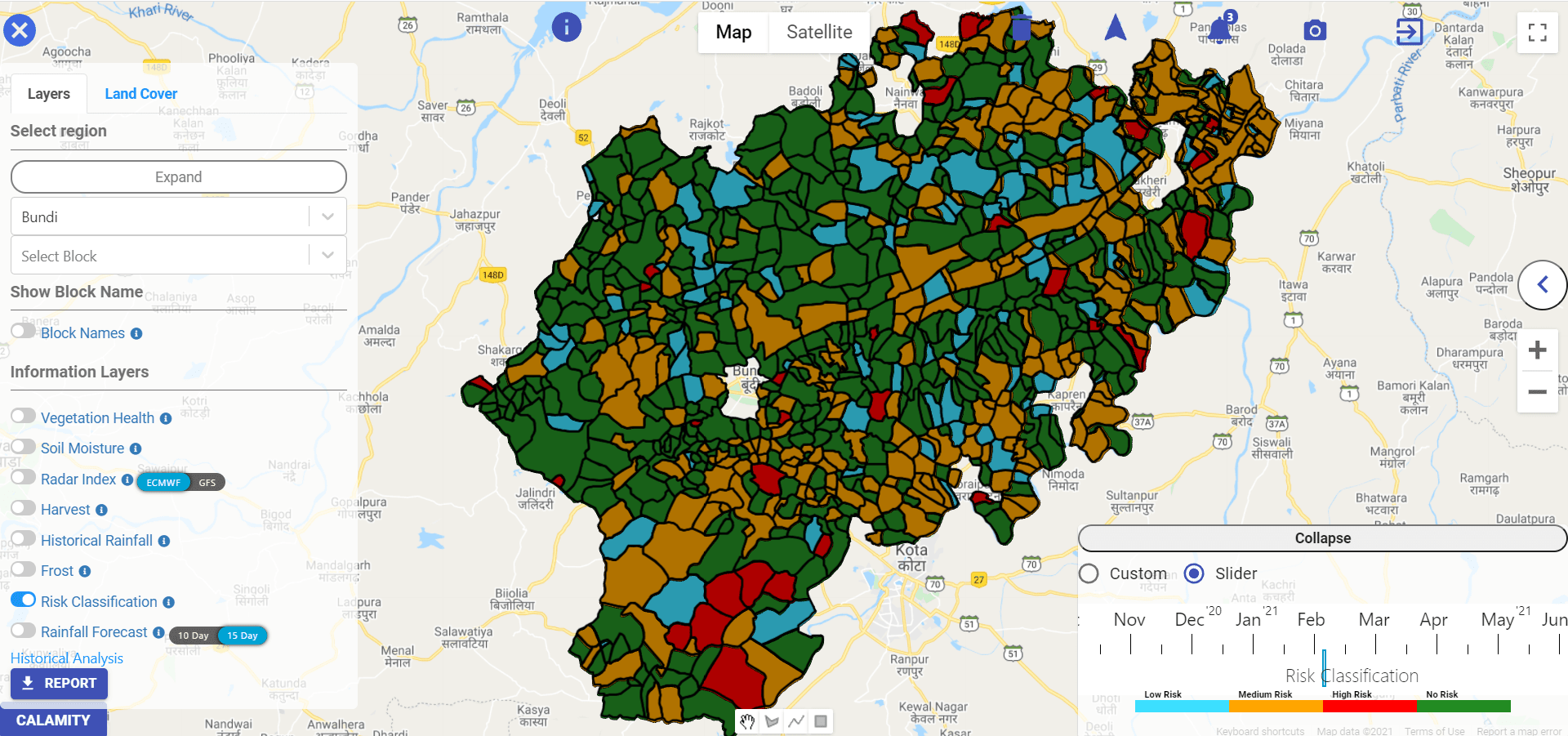
Risk Classification
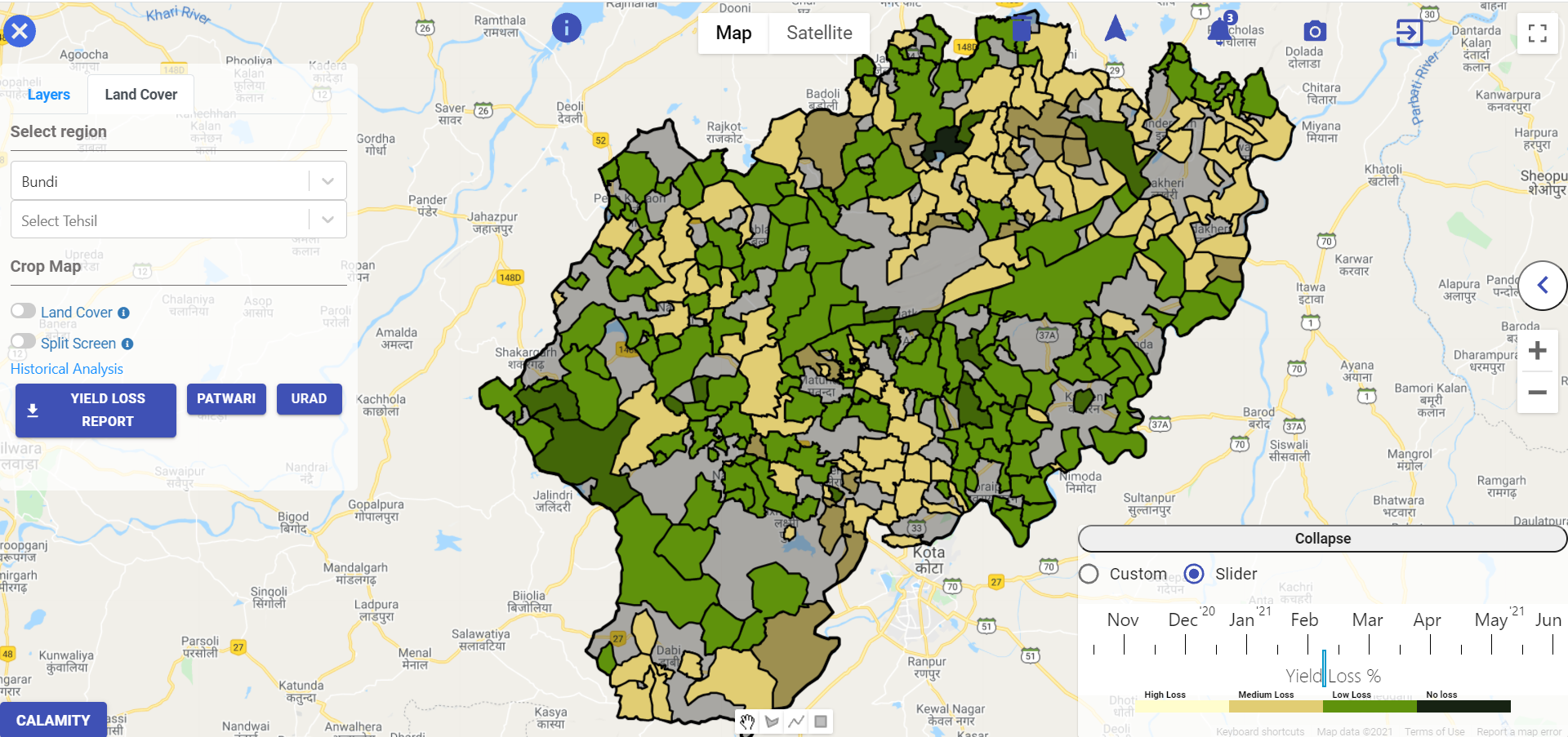
Yield Loss
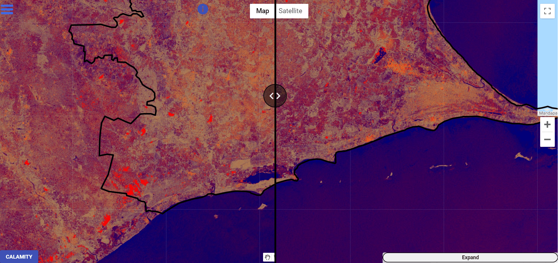
Flood Detection
.png)
Taluka Analysis
.png)
Farmer Analysis
"I have been working with Agtuall to monitor risks across our insurance portfolios using their remote sensing insights. Agtuall has impressed me with the accuracy of their technology ,client relationship management, and their ability to deliver quality outputs at short notice in a professional manner."
"We greatly appreciate Agtuall's support and creativity in our ongoing projects. The impact assessment dashboard will help us track progress accurately at scale and share data with donors. We look forward to collaborating more with the Agtuall team!"